03 · Town
Waimea
A historic west-side town with local food stops and easy access to Waimea Canyon Drive. It works well as the day's breakfast or late-lunch anchor.
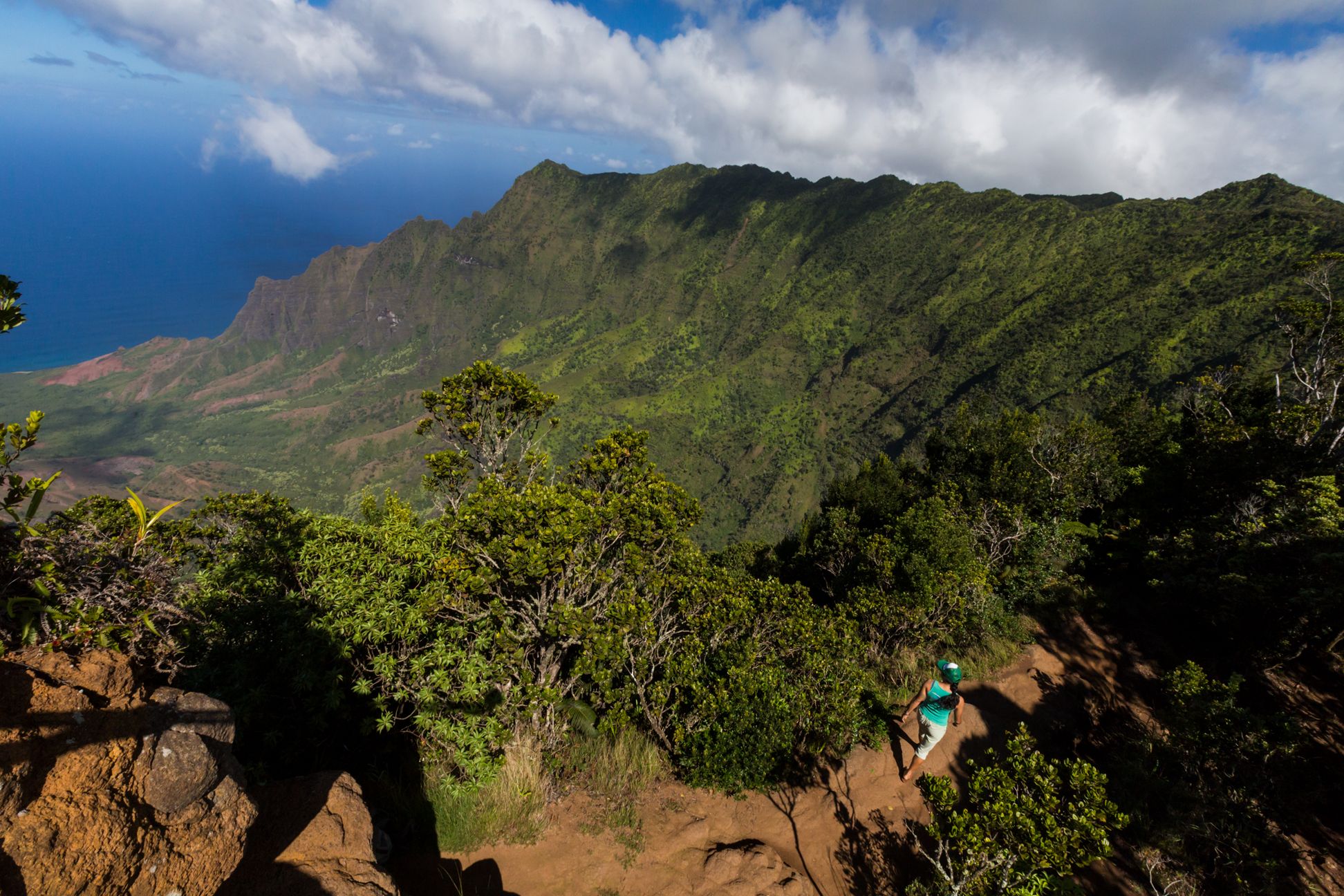
Kōkeʻe, above Kalalau Valley. Photo: Hawaii Tourism Authority (HTA) / Tor Johnson
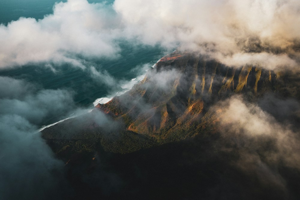
Red canyon walls, cool upland forests, vast Nāpali overlooks, and a quieter stretch of old Kauaʻi towns. The South-West feels expansive, elemental, and distinctly removed from the resort coast.
Most visitors come for Waimea Canyon, then keep climbing into Kōkeʻe for forest trails and views toward the Nāpali Coast. Down below, Waimea and Kekaha give the region a slower, local-town rhythm — a useful contrast to Kauaʻi's busier resort areas.
Pair the canyon and uplands with at least one stop at sea level. The landscape changes quickly as the road climbs from dry coastal country into cool, wet forest.
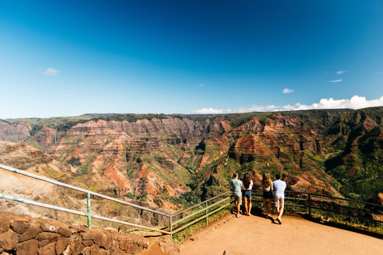
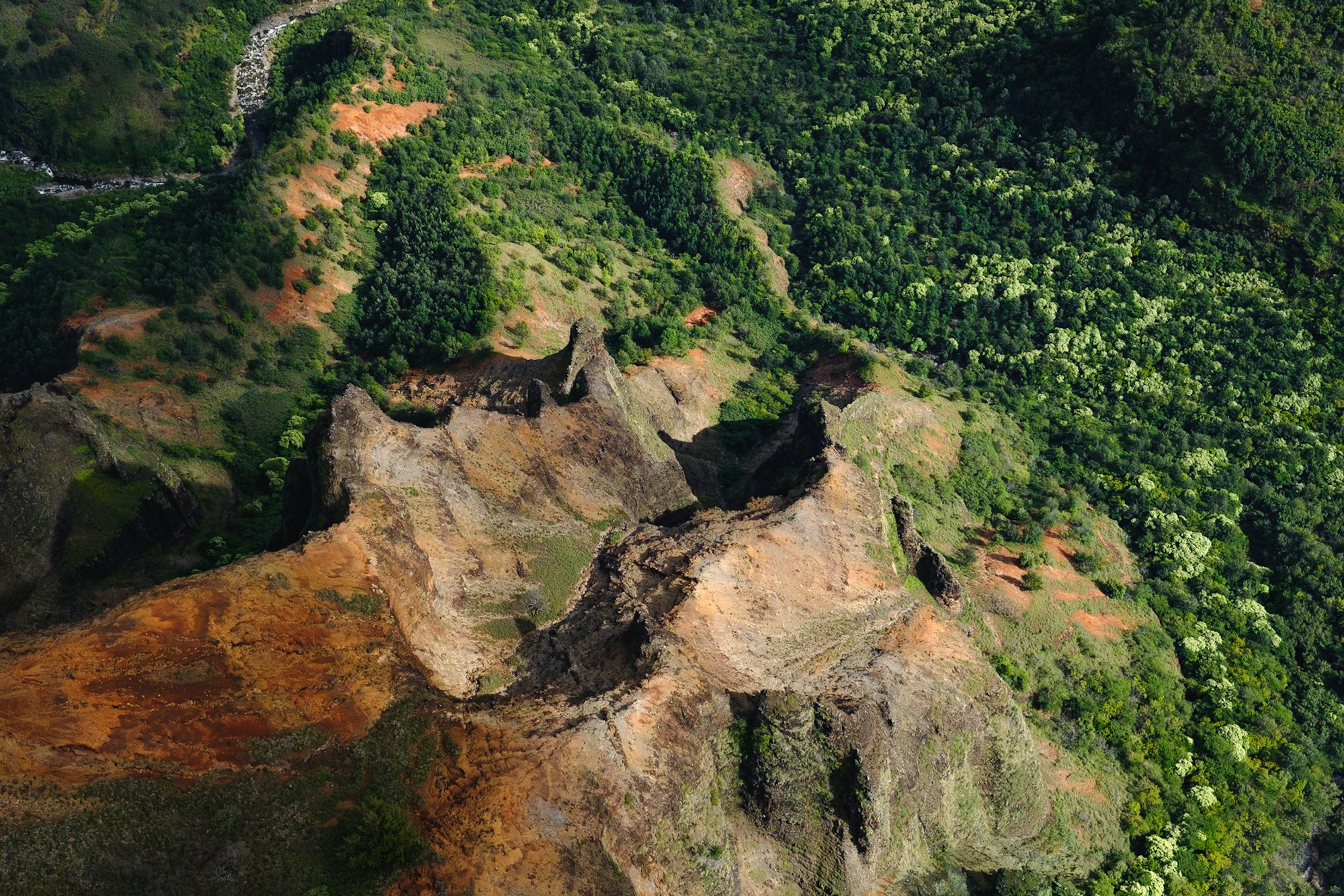
Layered red and green walls, waterfalls after rain, and roadside viewpoints over one of Hawaiʻi's most dramatic erosional landscapes.
Photo: Hawaii Tourism Authority (HTA) / Ben Ono
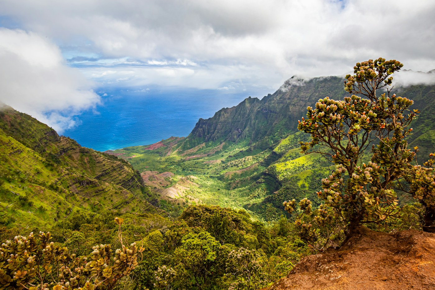
Cooler air, native forest, picnic areas, cabins, and trailheads leading along canyon rims and toward the Kalalau Valley viewpoints.
A historic west-side town with local food stops and easy access to Waimea Canyon Drive. It works well as the day's breakfast or late-lunch anchor.
Wide-open shoreline, sunset light, and the road toward Polihale. The west coast is hotter, drier, and visually very different from Kauaʻi's north and east.
Start early for clearer mountain views, then work downhill as cloud cover builds. A simple order keeps the route efficient.
The canyon drive is easy to underestimate. Sea-level weather in Waimea can be warm and clear while Kōkeʻe is cool, wet, windy, or clouded in.
Kōkeʻe sits roughly 4,000 feet above sea level. Even on a hot day at the coast, the uplands can feel substantially cooler.
Clouds often gather around Kauaʻi's uplands as the day develops. An early start improves your odds of open views and gives you more flexibility if conditions shift.
Scenic drive, canyon overlooks, picnicking, and trails including the Iliau Nature Loop and Kukui Trail.
Native forest, campgrounds, lodging, and access to trails such as Pihea, Awaʻawapuhi, and Nuʻalolo.
Nonresident entrance and vehicle parking fees apply at state park lots; Hawaiʻi residents with qualifying ID are generally exempt.
Weather, road work, storm impacts, parking restrictions, and trail closures can change. See the Hawaiʻi DLNR Kauaʻi State Parks page for live updates.